- Map reprinted on high quality bond paper
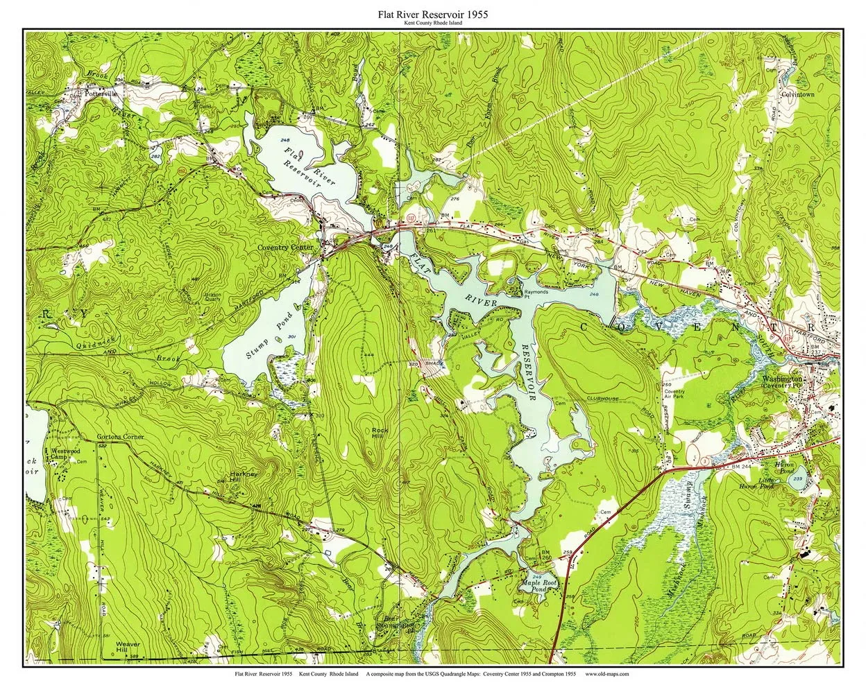
We have made this composite map from sections of old USGS "quad' maps. This unique map is only available here. We have added a title and simple border to enhance this map. Topographic maps are detailed maps made by the US Geological Survey (USGS) . They show all roads, waterways, elevations, principal buildings and land use. And they are very attractive! Original size 13" x 17". Print size: 24"x30". Printed in color on high quality bond paper with Canon ink.
- Date First Available : June 3, 2016


 Fisherman Sandal, Glitter Black, 12")


